


ZondSP2D - 地球物理二维自然电位法软件
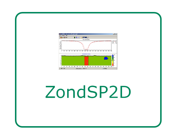
ZondSP2d 是地球物探分析软件Zond的模块之一,是一款的二维自然电位法软件。
自电势场方法基于对岩石中由于物理和化学过程而产生的自然电场的研究。几乎地方都存在扩散吸附和过滤性质的小自电势。氧化还原性质的密集场在硫化物和石墨沉积物上观察到。通常,位于粒子介质中的电子导体是自电位场法的搜索对象。在这些物体的边界上形成了作为自然电场源的电荷。
模型的单元都有属性:电阻率,类型电导率(电子或离子)。在电池上形成了具有不同类型自然场电导率的边界(使用了表征氧化还原因子空间分布的源强度与深度的函数关系)。
ZondSP2D代表了自势方法的现成解决方案,解决了从数学建模到现场数据解释的广泛问题。方便的界面数据可视化功能可很大程度地解决广泛的地质问题。
ZondSP2d使用明了的数据格式,可以组合观测系统,地形设置的不同变体和附加信息。
放置现场测量的阶段是工作现场岩石物理结构的数学建模。建模使您有机会选择观测系统的好参数,以决定所确定的地质问题。
由于该程序的任务是电阻率和电荷的反演,因此在ZondSP2d中实现了反问题决策的一些变体。其基本原理是:平滑反演 - 获得平滑模型和聚焦 - 获得具有岩石物理参数的分段平滑模型深度。
在设计程序时,要考虑先验数据核算。由于地球物理反问题的等效性,所获得结果的质量在很大程度上取决于所使用的的先验数据量。在ZondSP2d中,可以使用先验模型作为反演的参考来设置权重,以进行测量,固定和限制改变不同单元的,还可以通过方法导入和显示测量结果,结果质量的跨孔数据。
【英文介绍】
ZondSP2d program is designed for two-dimensional interpretation of self-potential data by (land and borehole variants).
The self-potential field method is based on studying of the natural electric fields that generate in rocks because of various physical and chemical processes. Small self potentials of diffuse-adsorption and filtering nature exist practically everywhere. Intensive fields of redox nature are observed only over sulfide and graphite deposits. As a rule electronic conductors located in the ionic media are the search objects of the self-potential field method. Electric charges as sources of the natural electric field are formed on the boundaries of such objects.
Each cell of model has next ptoperties: resistivity , type conductivity (electronic or ionic). On cells borders with differ types of conductivity sources of the natural field are formed (functional relation of the source intensity vs depth that characterizes spatial distribution of redox factors is used).
ZondSP2d represents ready solution for self-potential method, and solves wide range of
problems from mathematical modeling to field data interpretation. Convenient interface and variety of data visualization features allow to solve wide range of geological problems with maximum effectiveness.
ZondSP2d uses simple and clear data format which allows easily combining various systems of observation, including different variants of the topography setting up and other additional information.
Important stage which prevents field measurement is mathematical modeling of petrophysical structure of work site. Modeling gives a chance to make a choice of optimum parameters of the observation system for decision of formulated geological problem.
As the general task of the program is inversion of resistivity and charges, some variants of inverse problem decision are realized in ZondSP2d, basic of them are: smoothing inversion – to get smooth model and focusing — to get piece-smoothed model of petrophysical parameters with depth.
While program was designed special consideration given to a priori data accounting. Because of equivalence of inverse geophysical problems, quality of the obtained results strongly depends on the amount of a priori data used. In ZonSP2d there is possibility of weights setting for measurements, fixing and limits making of changing features of different cells, using of a priori model as reference in inversion. There is also possibility to import and display results of measurements by other methods and cross-boreholes data that improved quality of results.


- 2026-07-29
- 2026-07-28
- 2026-07-26
- 2026-07-24
- 2026-07-23
- 2026-07-21

- 2026-07-30
- 2026-07-29
- 2026-07-29
- 2026-07-29
- 2026-07-29
- 2026-07-29